HERMAN MOLL (1654–1732), JOHN BOWLES Map of Moscovy, Poland, Little Tartary and the Black Sea, London, 1729–1730
Lotto 848
1 5001 600
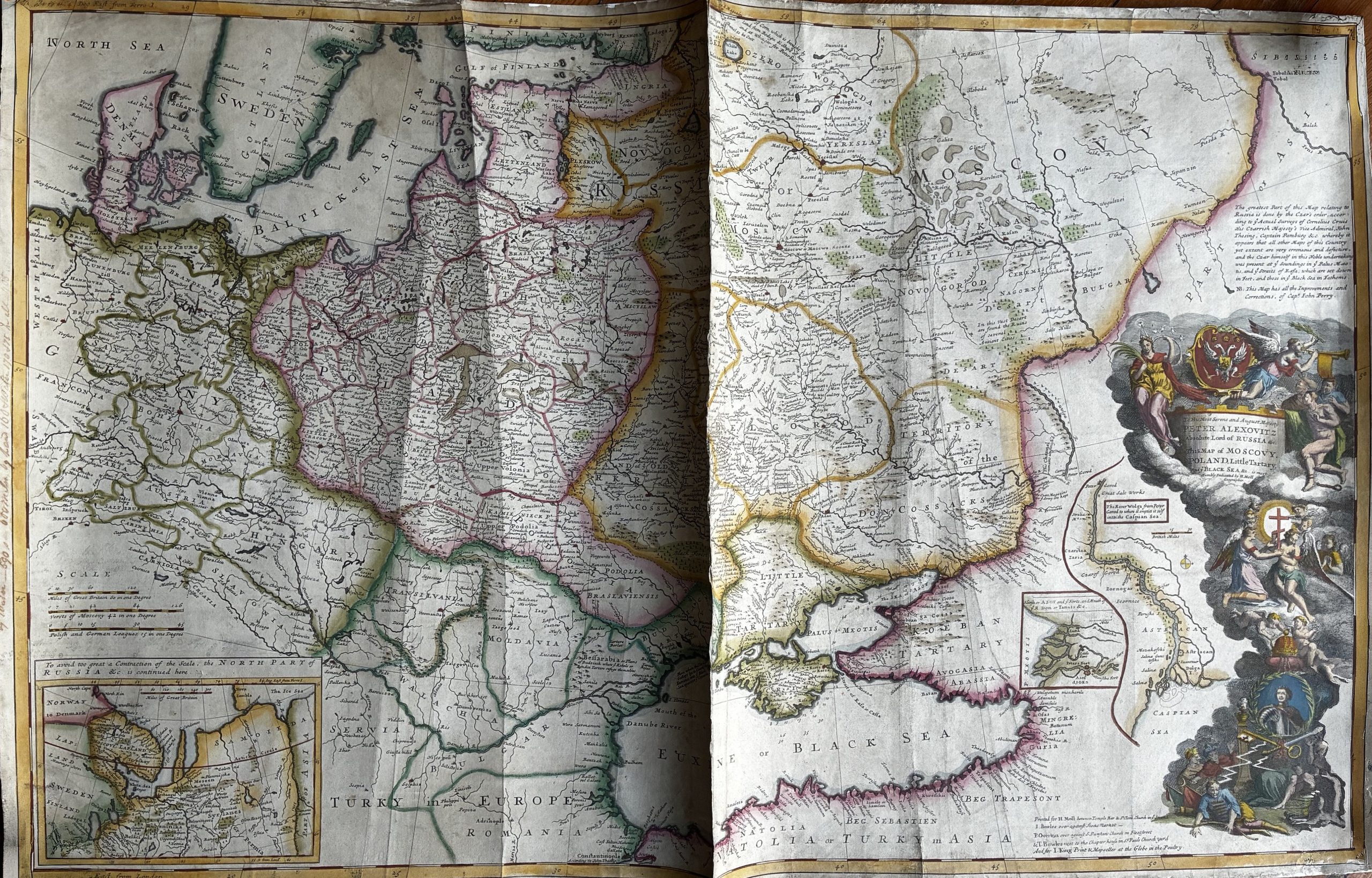
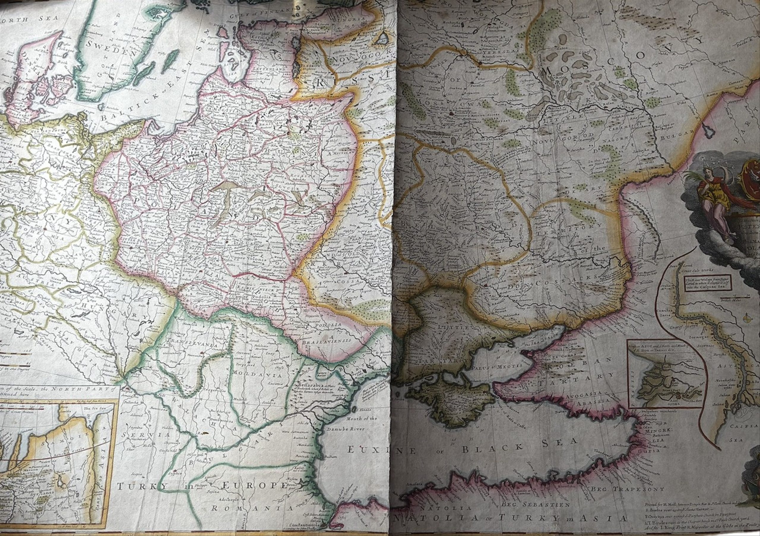
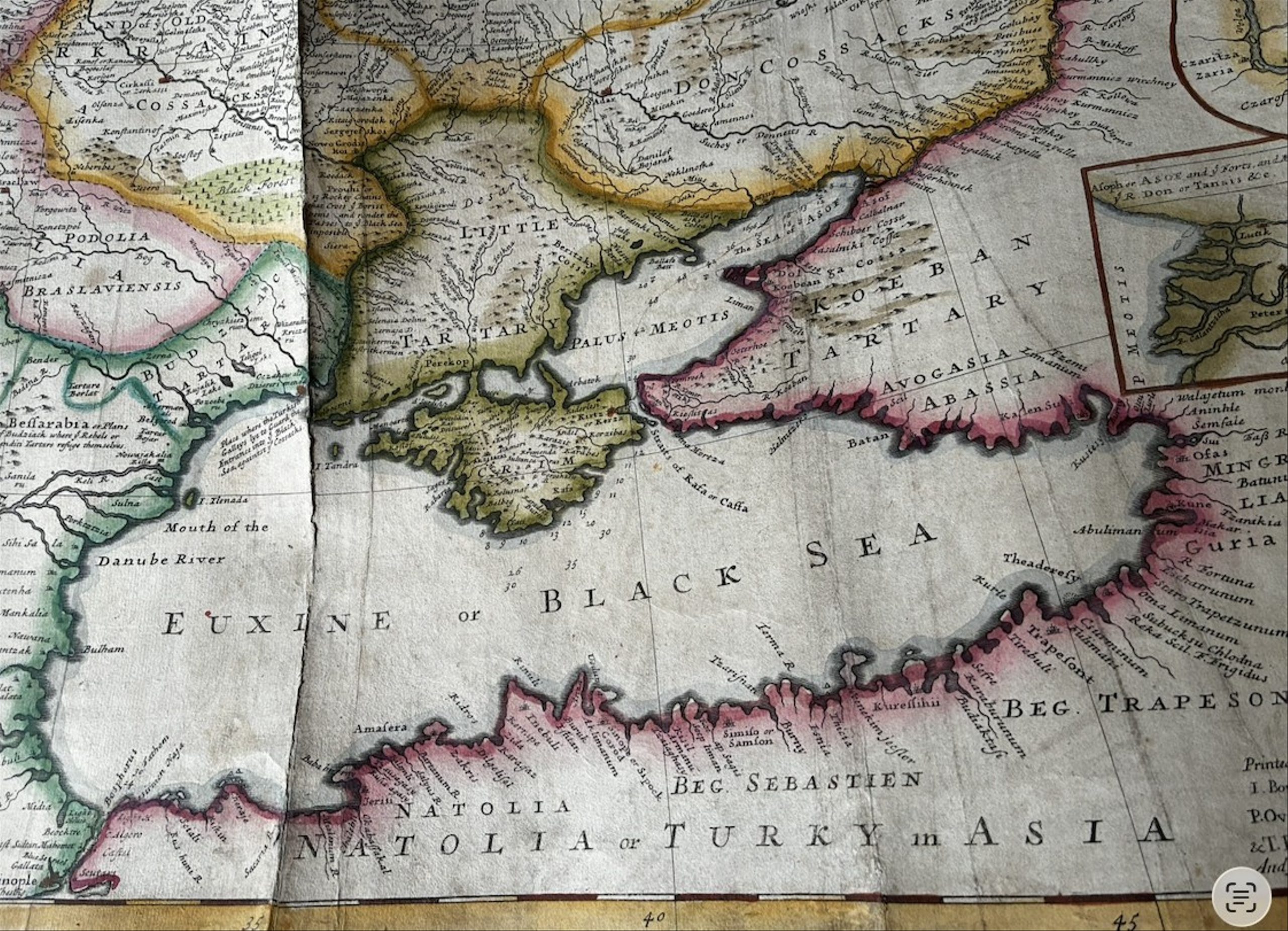
Copper engraving, hand-coloured in watercolour; laid down on modern paper. 62.5 x 98 cm.
This map was created by Herman Moll (1654-1732), the renowned London geographer and cartographer, and published in 1730 by John and Thomas Bowles. It is notable for its detailed depiction of Russia, Poland, the neighbouring territories and the Black Sea region. Outline colouring is used to distinguish the territories.
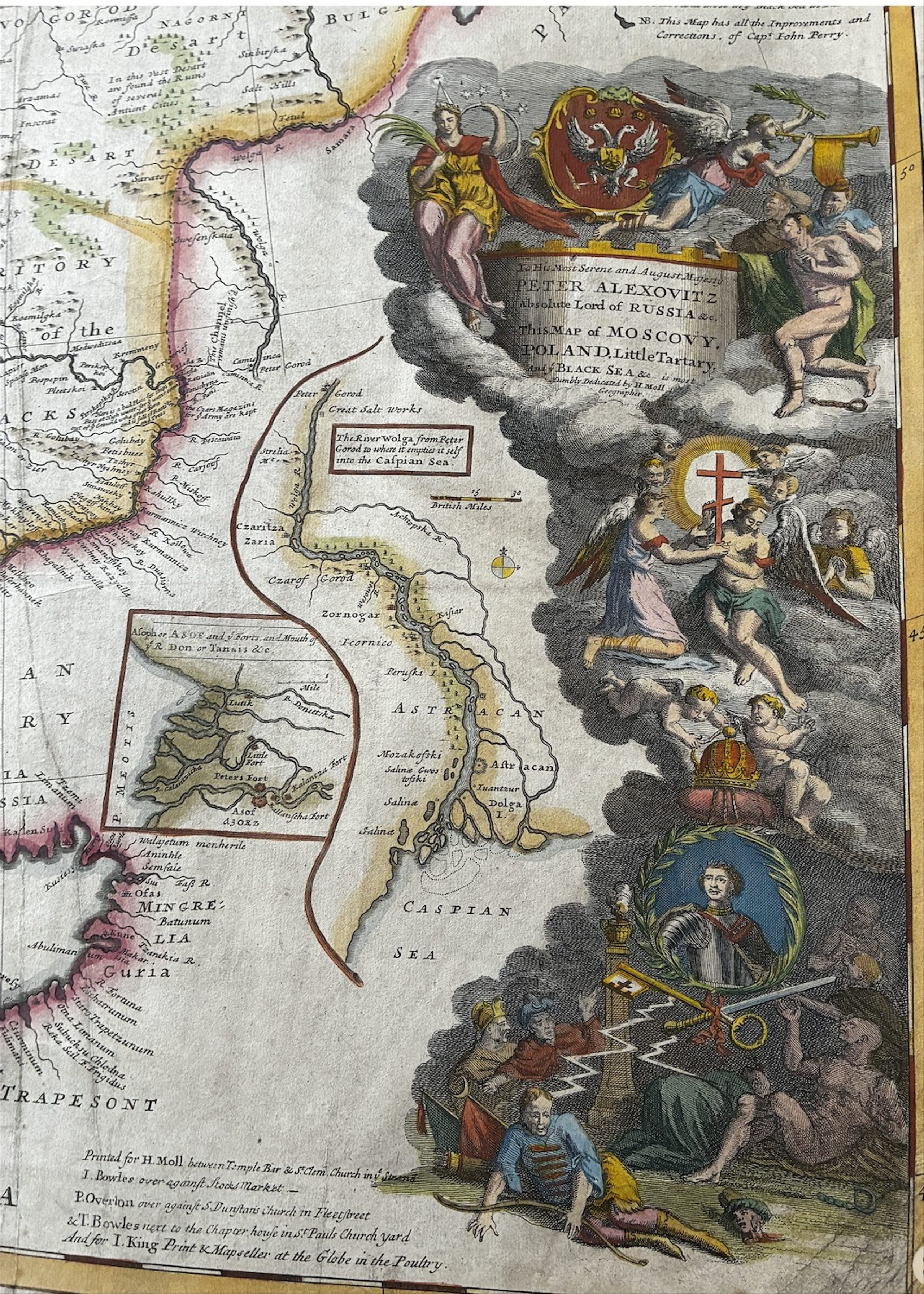
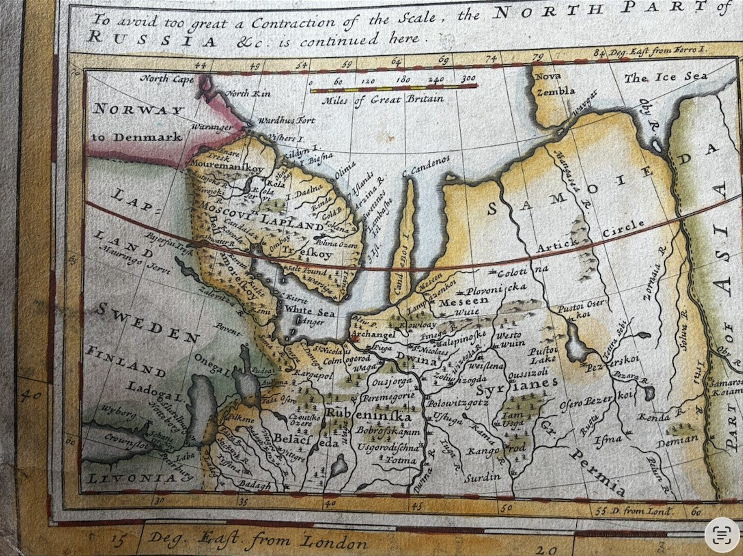
The map reflects the geopolitical situation in Eastern Europe and Western Asia in the early 18th century, after the age of Peter the Great, when Muscovy finally took shape as the Russian Empire. It highlights such significant regions as Muscovy, Poland and Little Tartary (the historical region north of the Black Sea), and carefully marks major cities, rivers and geographical features. In the lower right corner is a multi-figure cartouche with a portrait of Peter the Great beneath a double-headed eagle, surrounded by angels trumpeting Peter I’s victories. The map also has an inset ‘The Northern Part of Russia’ showing the course of the Volga, the mouth of the Don and the region adjoining the White Sea.
Notable features of the map include detailed inscriptions and explanations by Moll himself. The map is part of the atlas regarded as Herman Moll’s most impressive work.