ISAAC MASSA (c. 1587–1635) Russiae vulgo Moscovia, Pars Australis. Auctore Isaaco Massa [Russia, commonly known as Muscovy, the southern part]. Amsterdam: Johannes and Cornelis Blaeu, 1640–1660.
Lotto 846
8001 000
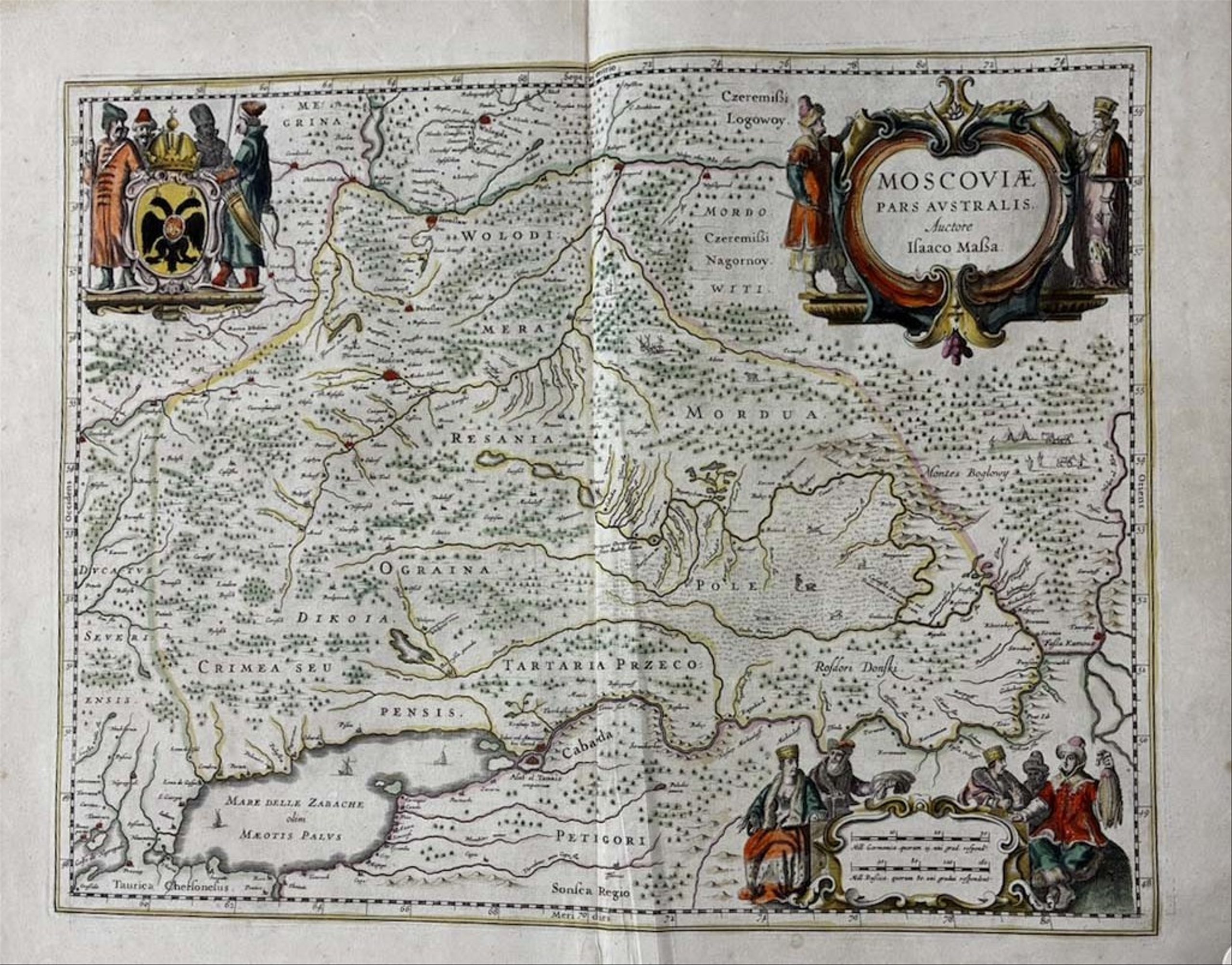
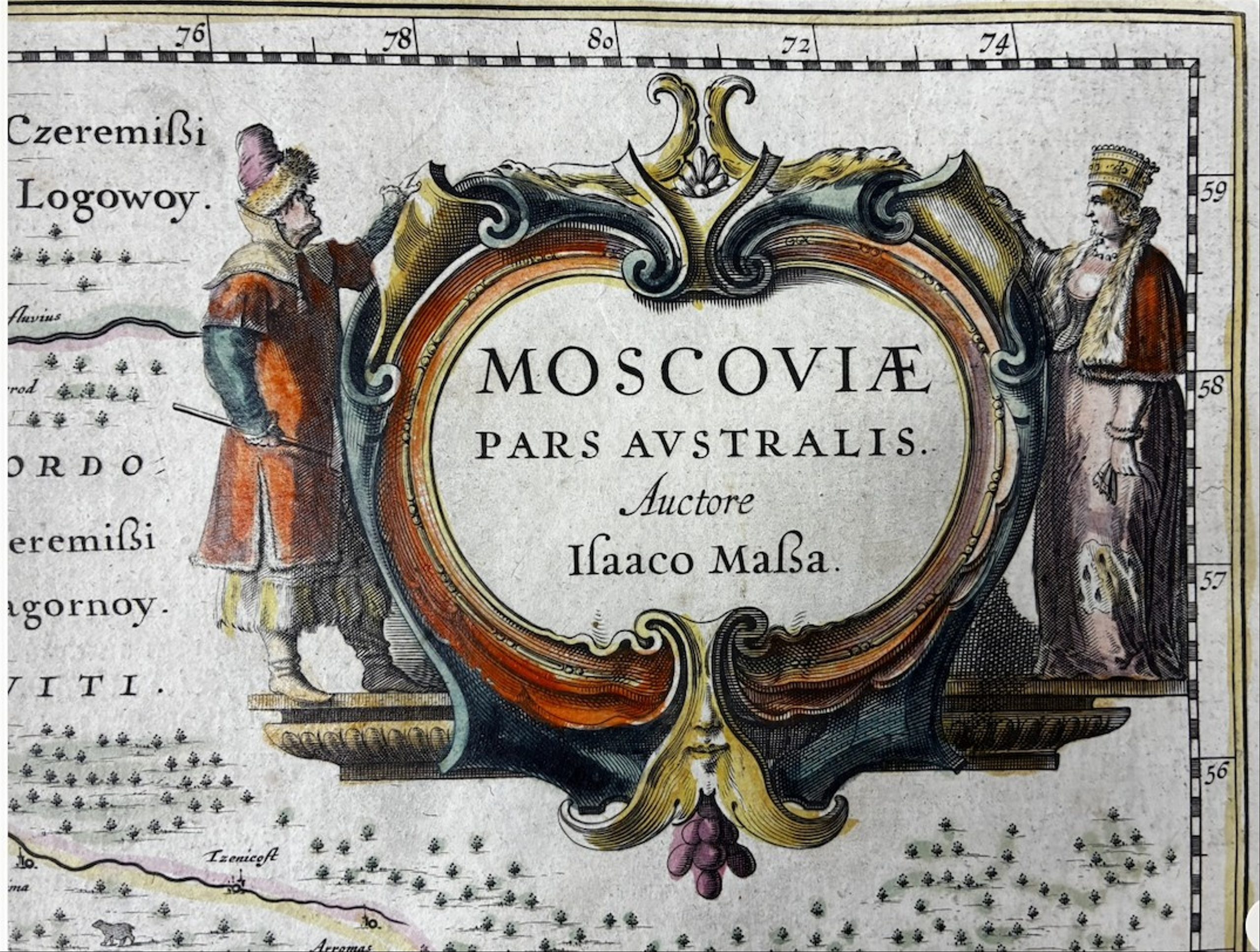
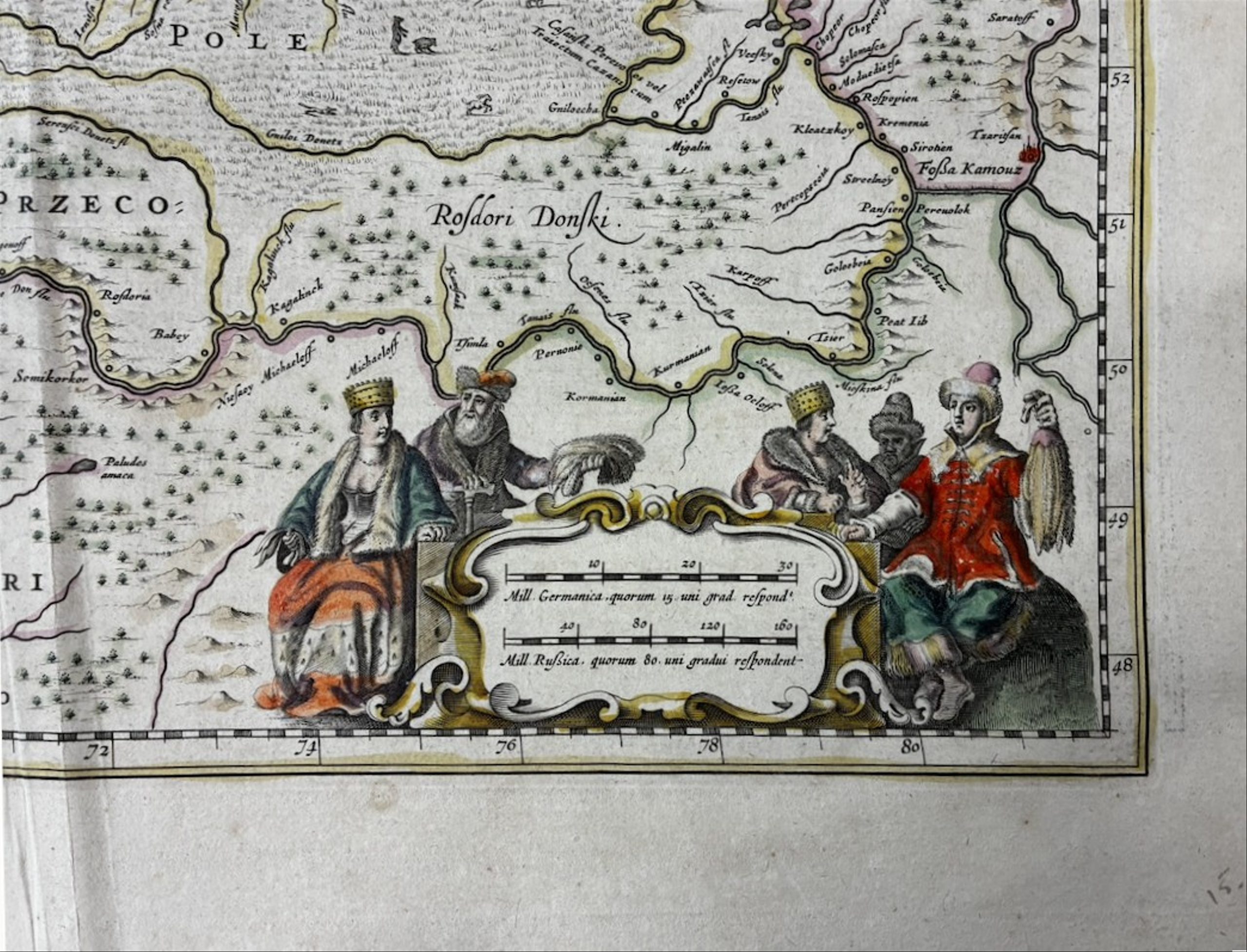
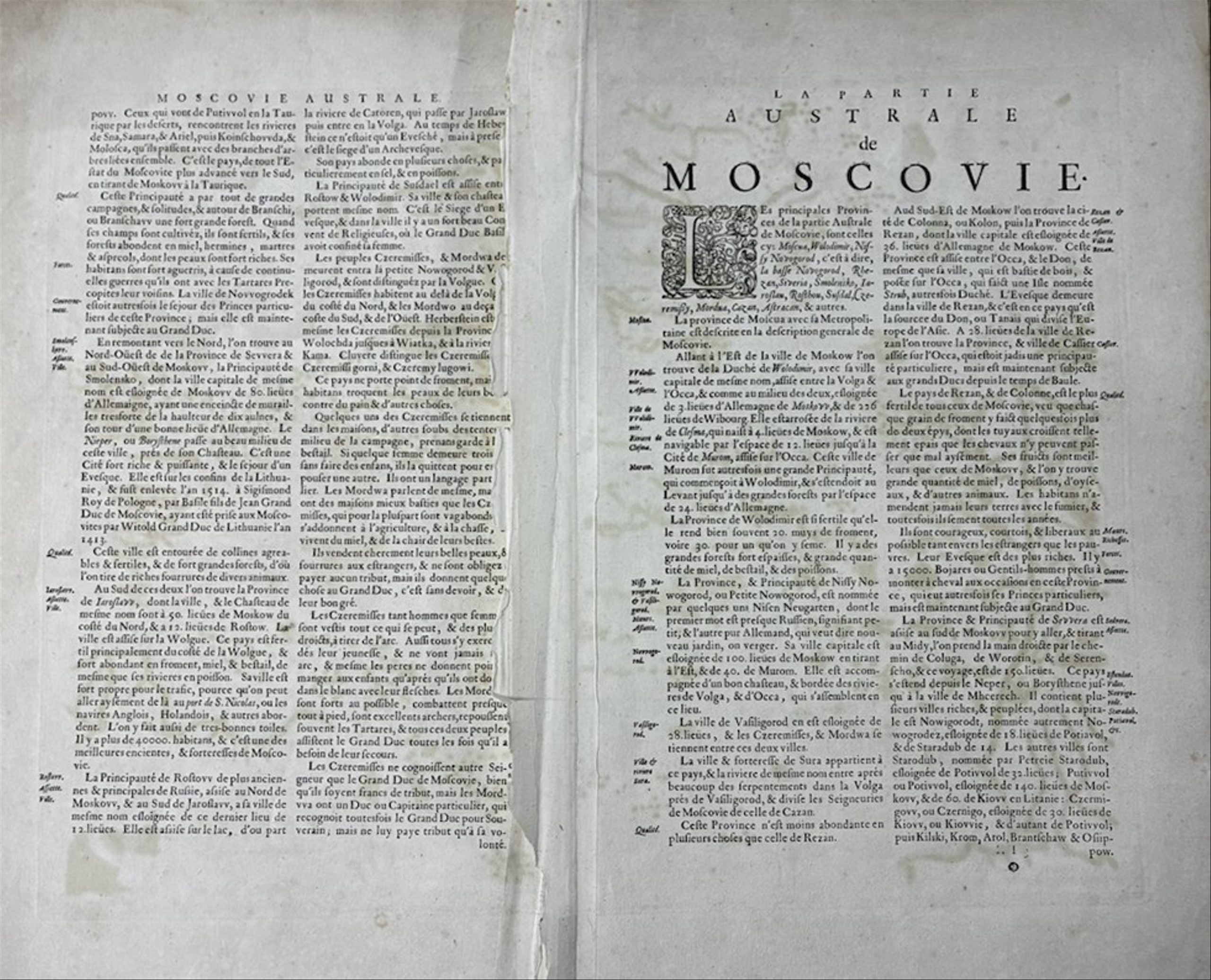
58 x 48 cm. Copper engraving, hand-coloured in watercolour. Fold mark, traces of restoration, small tears, loss of a small fragment along the fold. Explanatory Latin text on the reverse.
The map is decorated with three figurative cartouches. One of them shows the tsar’s eagle with the arms of Moscow in the centre, and streltsy. The title cartouche is composed of animals and precious furs, the main wealth of Muscovy.
Sheet from Blaeu’s ‘Novus Atlas’, first published in 1638 (second edition 1647). The map was compiled from the drawings and notes of the Dutch merchant Isaac Massa (ca. 1587-1635), who often visited Muscovy between 1601 and 1634. He is known to have acquired several local manuscript plans in Moscow, which he used to create his maps.
Interestingly, among other things, the map shows a non-existent waterway from the Don to the Volga, ‘Fossa Kamouz’. Only a few 17th-century maps showing it are known. A portage was probably meant, as the first project for a canal at this location appeared only under Peter the Great (and was never realised).
Johannes (Joan) Blaeu (1596-1673) and Cornelis Blaeu (1610-1642) were renowned Dutch cartographers and publishers, successors of their father Willem Janszoon Blaeu; on his death in 1638 they inherited the cartographic material he had acquired from the heirs of Gerardus Mercator.