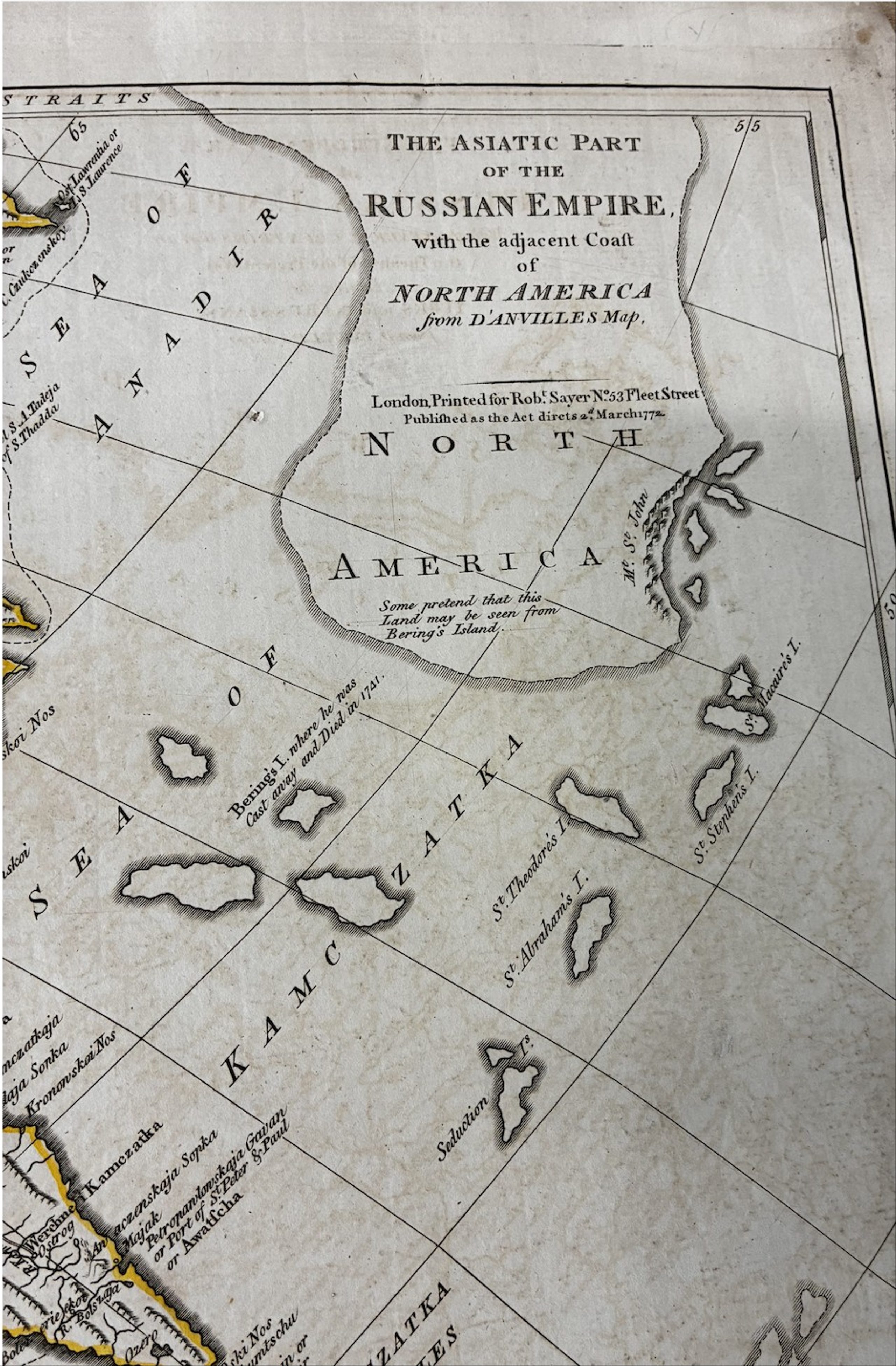
JEAN-BAPTISTE BOURGUIGNON D’ANVILLE (1697–1782) The European Part of the Russian Empire with the Several Countries That Are the Theatre of War between the Turks and the Russians / The Asiatic Part of the Russian Empire with the Adjacent Coast of North America. From D’Anville’s Map, London: Robert Sayer, 1772.
Lot 849
500600
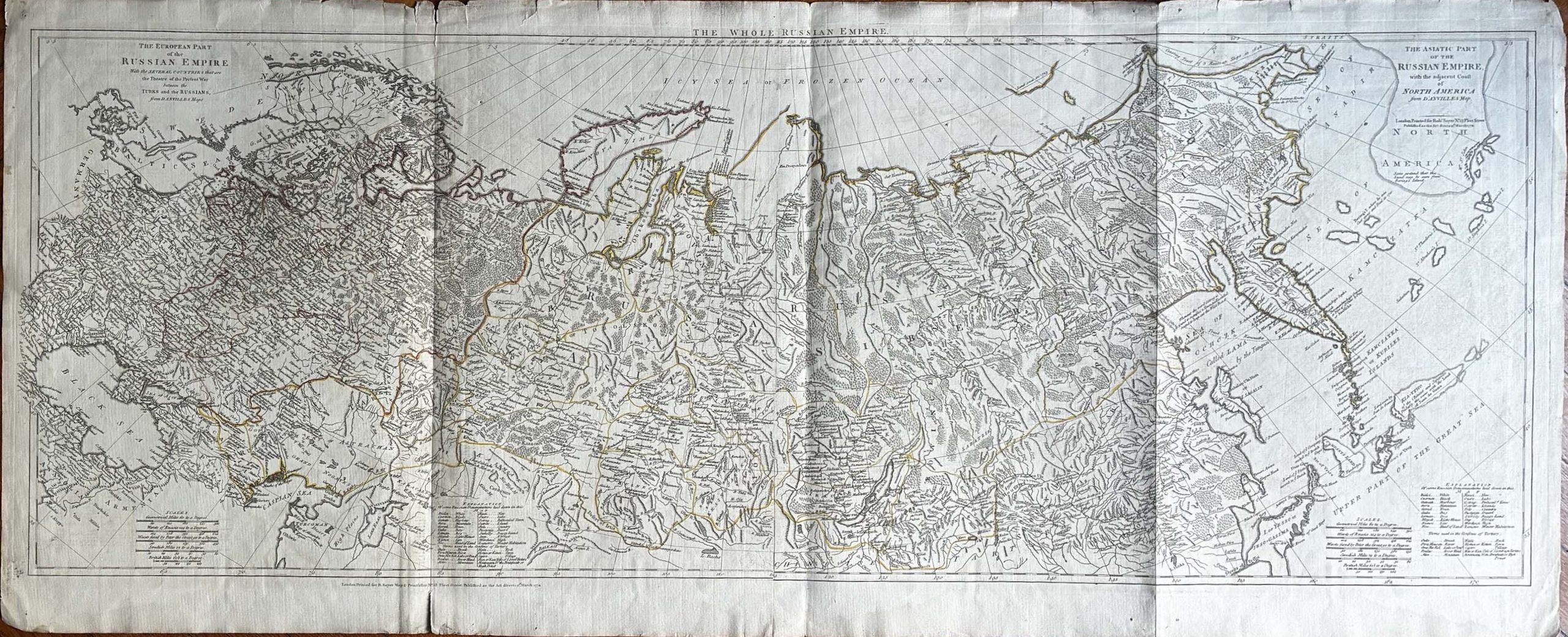
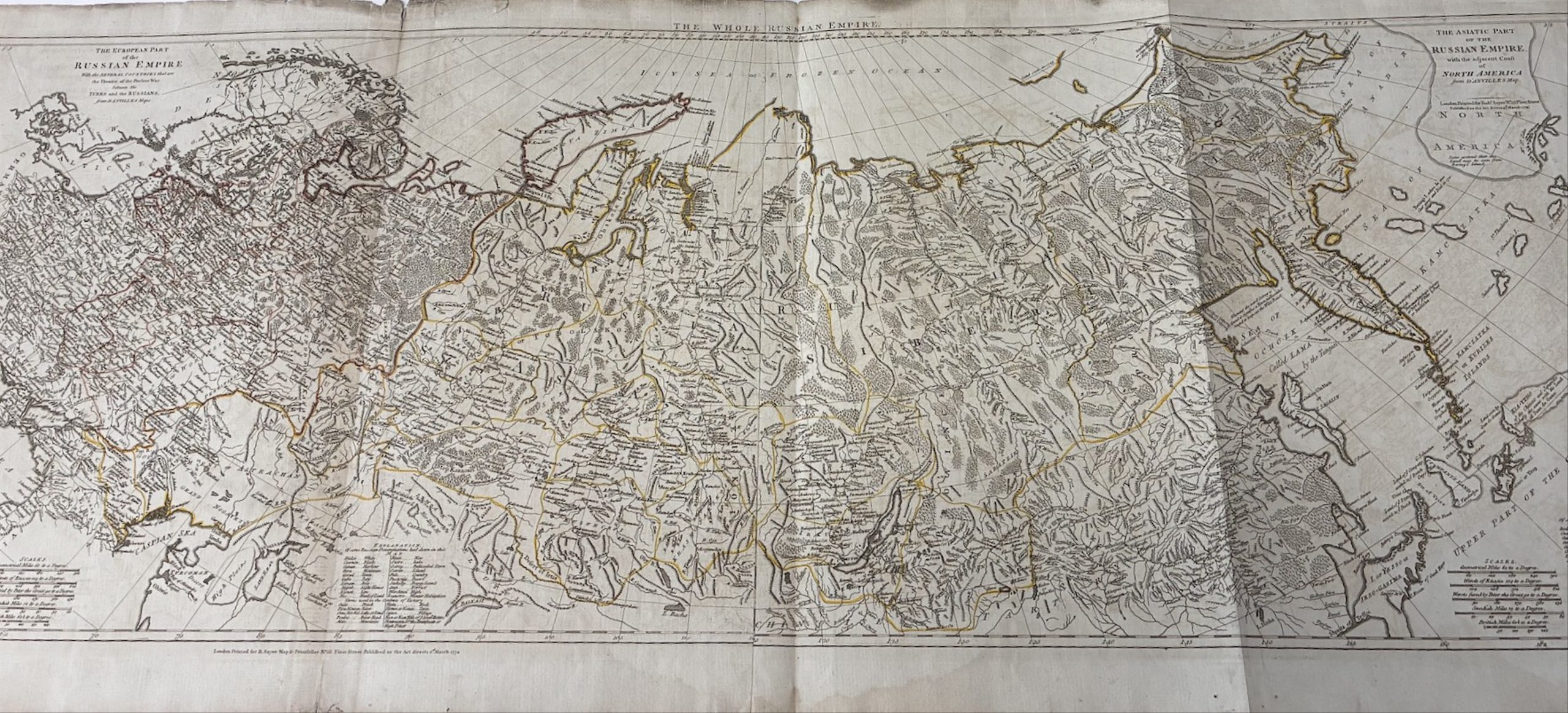
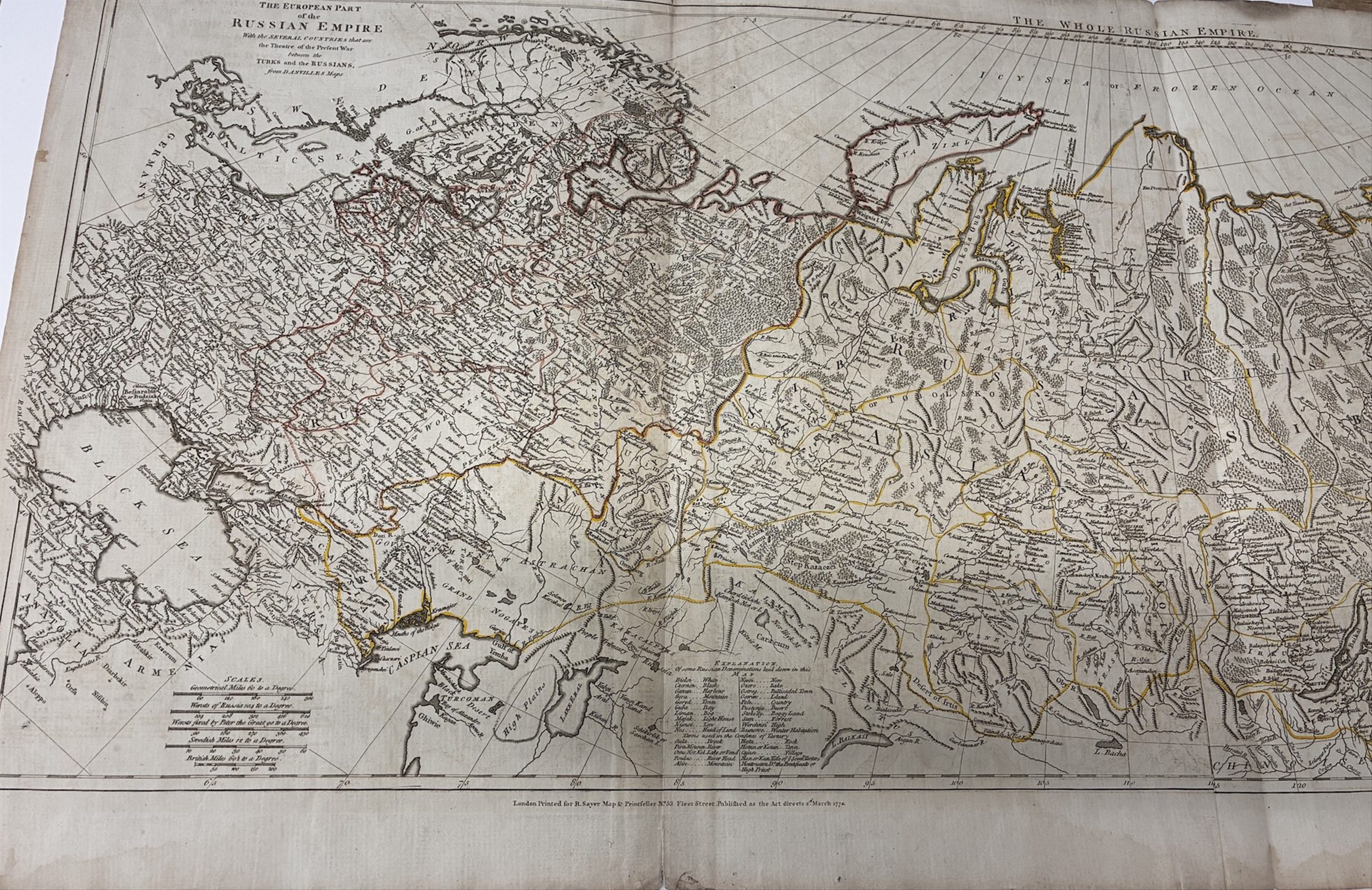
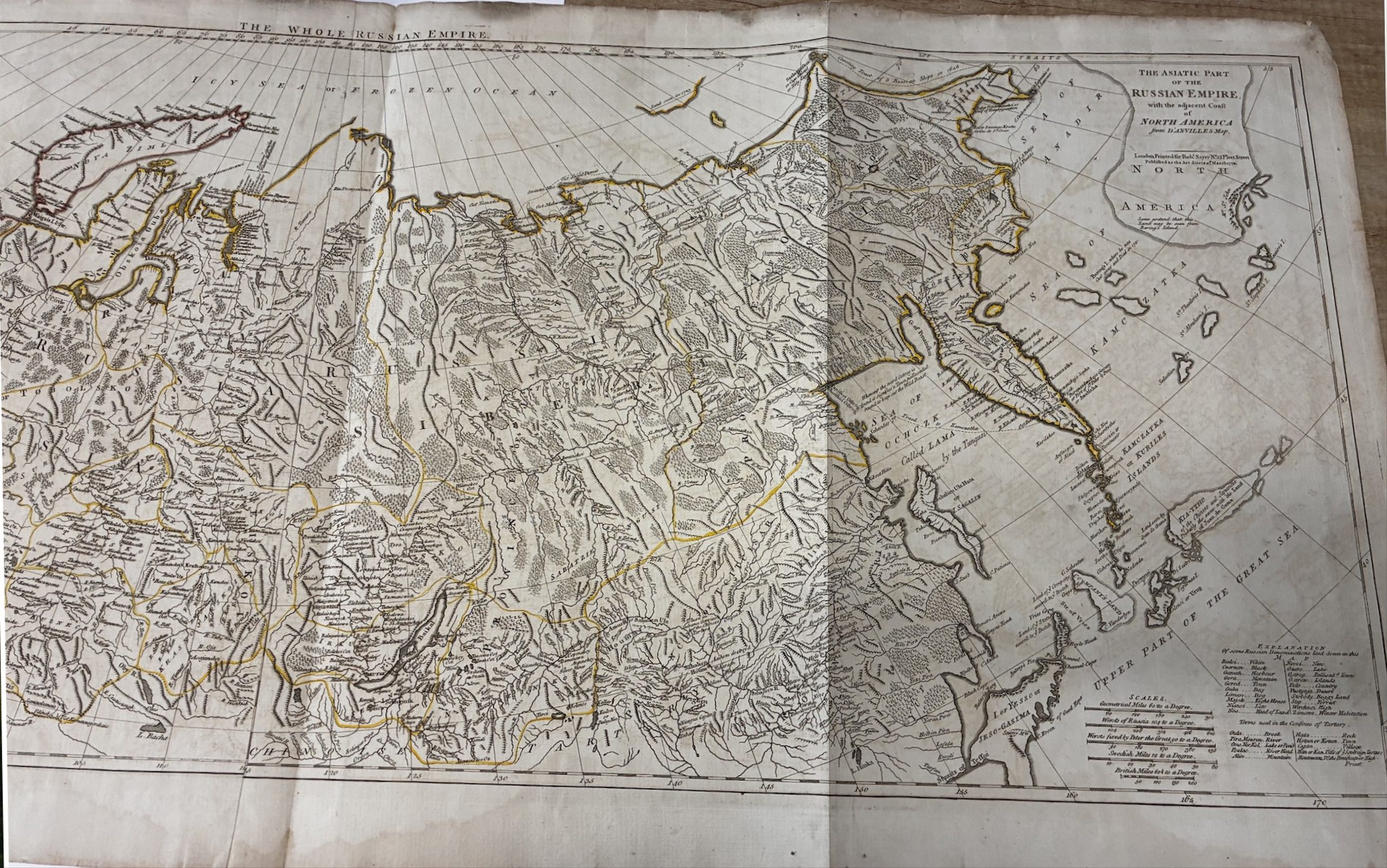
Published in Robert Sayer’s ‘General Atlas’.
Copper engraving, contemporary hand-coloured outlines, handmade paper. 131 x 55 cm.
A large-scale, detailed map of the Russian Empire covering the territory from Germany to the Sea of Kamchatka. It is based on the work of the French cartographer d’Anville, who processed the material of the Siberian expeditions (1733-1743), which resulted in the first reliable map of Siberia in the history of cartography. Following it, and taking into account the latest research and discoveries, the French cartographer produced this first geographically reliable map of the entire Russian Empire. It is highly detailed, marking topographical features, military posts throughout Siberia and the settlements of indigenous peoples.
The map shows the route of three Russian vessels which in 1648 sailed along the north-eastern coast and out into the northern Pacific. Bering Island is marked, where the navigator was shipwrecked and died in 1741. Nearby is the outline of the coast of North America with the explanatory note: ‘Some affirm that this land can be seen from Bering Island’. The map was compiled from material of the Imperial Academy of Sciences in St Petersburg.