CHAUCHARD'S ATLAS GENERAL MAP OF THE GERMAN EMPIRE, HOLLAND, THE NETHERLANDS, SWITZERLAND, GRAUBÜNDEN, ITALY, SICILY, CORSICA AND SARDINIA. London, John Stockdale, 1800.
Lot 739
200300
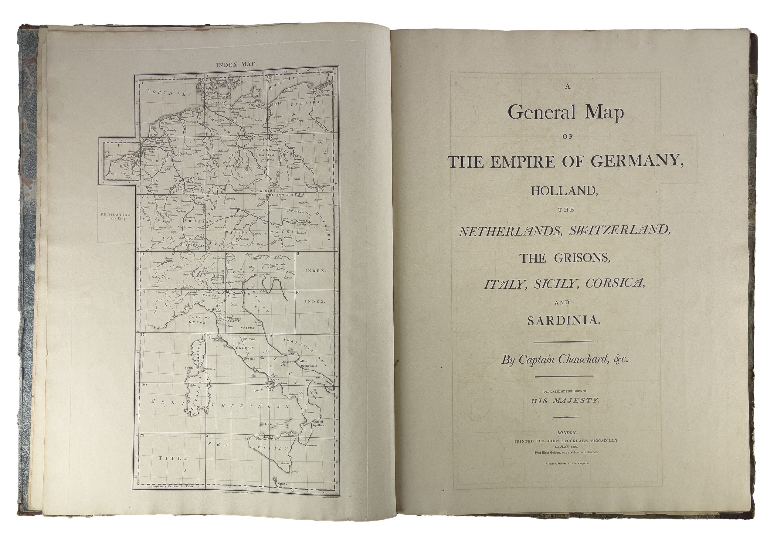
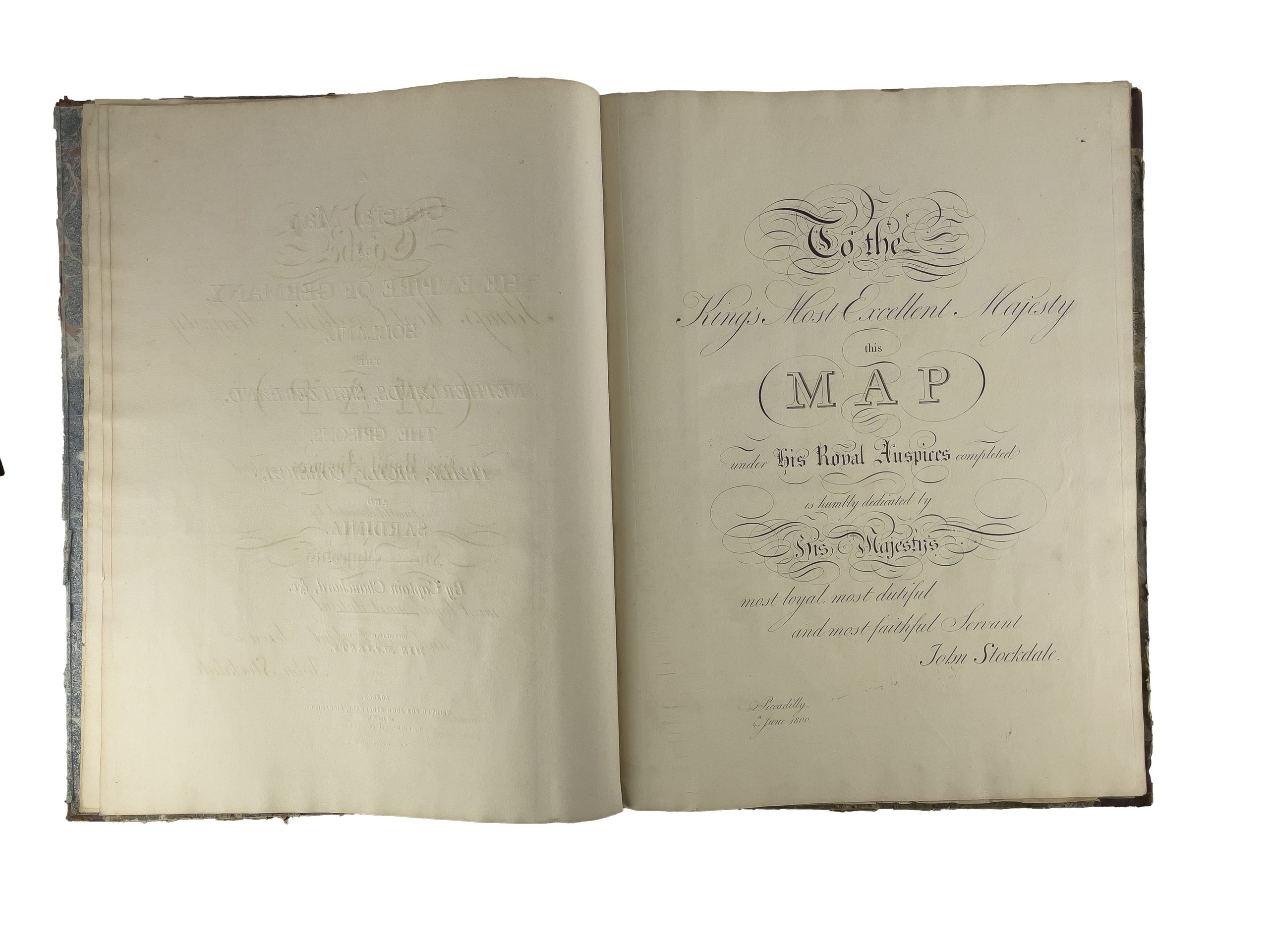
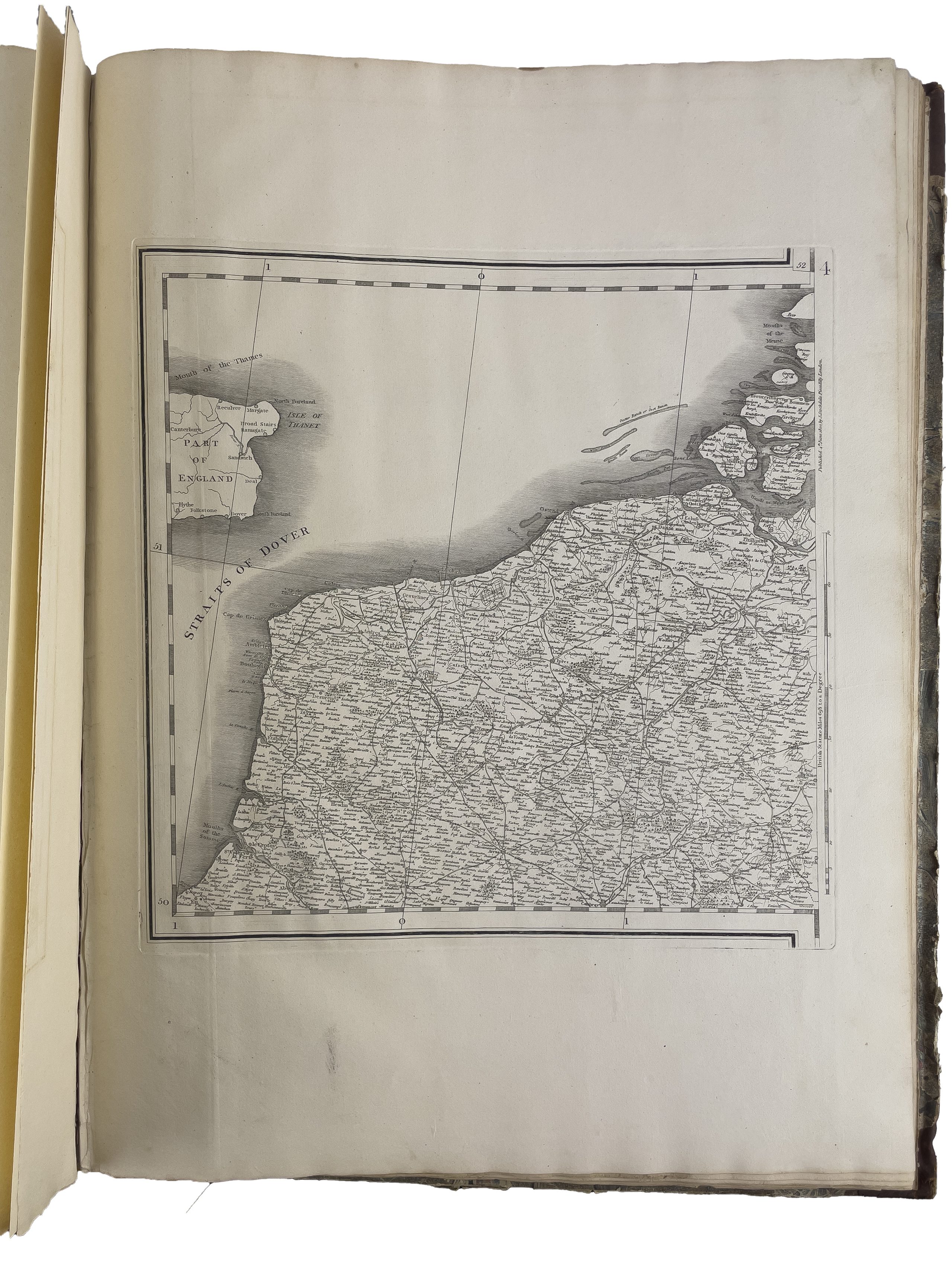
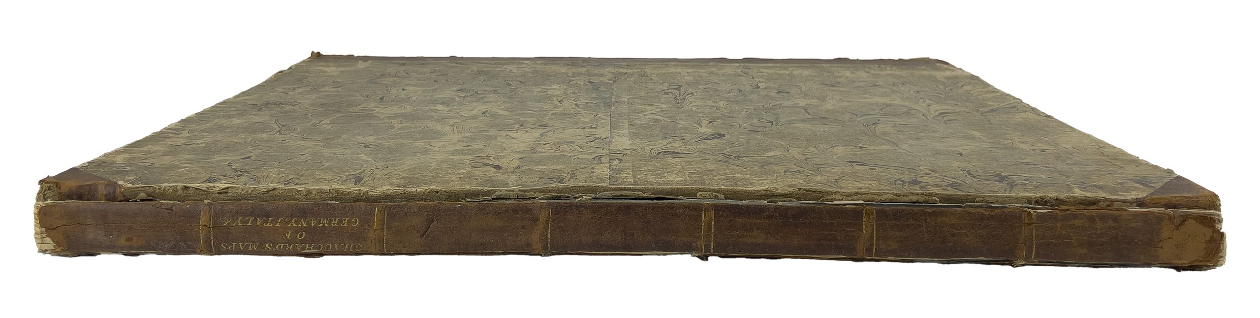
Engravings by Samuel John Neele
1 bound volume, title page, engraved dedication page, full-page engraved index card, 25 engraved cards, including 22 double-page maps, 3 full-page or half-page maps,
‘To the King’s most excellent Majesty, this map under his Royal Auspices completed is humbly dedicated by his Majesty’s, most loyal most dutiful and most faithful Servant. John Stockdale.
Piccadilly, 4th June 1800’
Index map: Germany, Netherlands, Switzerland, Austria, Italy
Detached dishes but complete of the menus.
General map of the German Empire by M. Chauchard, infantry captain and military engineer to Monseigneur Comte d'Artois, published for the first time in Paris by Sr. Dezauche, geographer, n.d. [ca. 1784].